
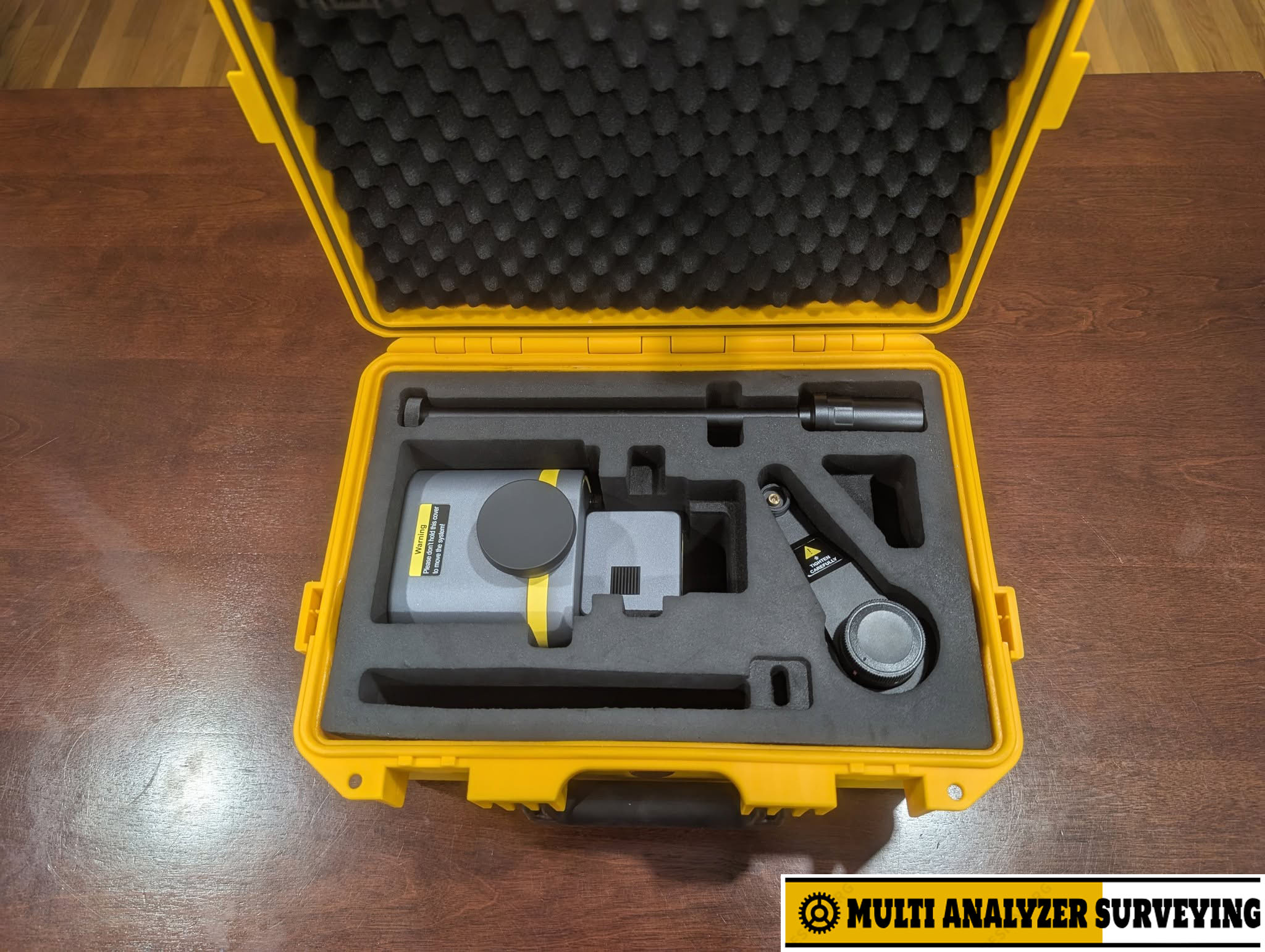
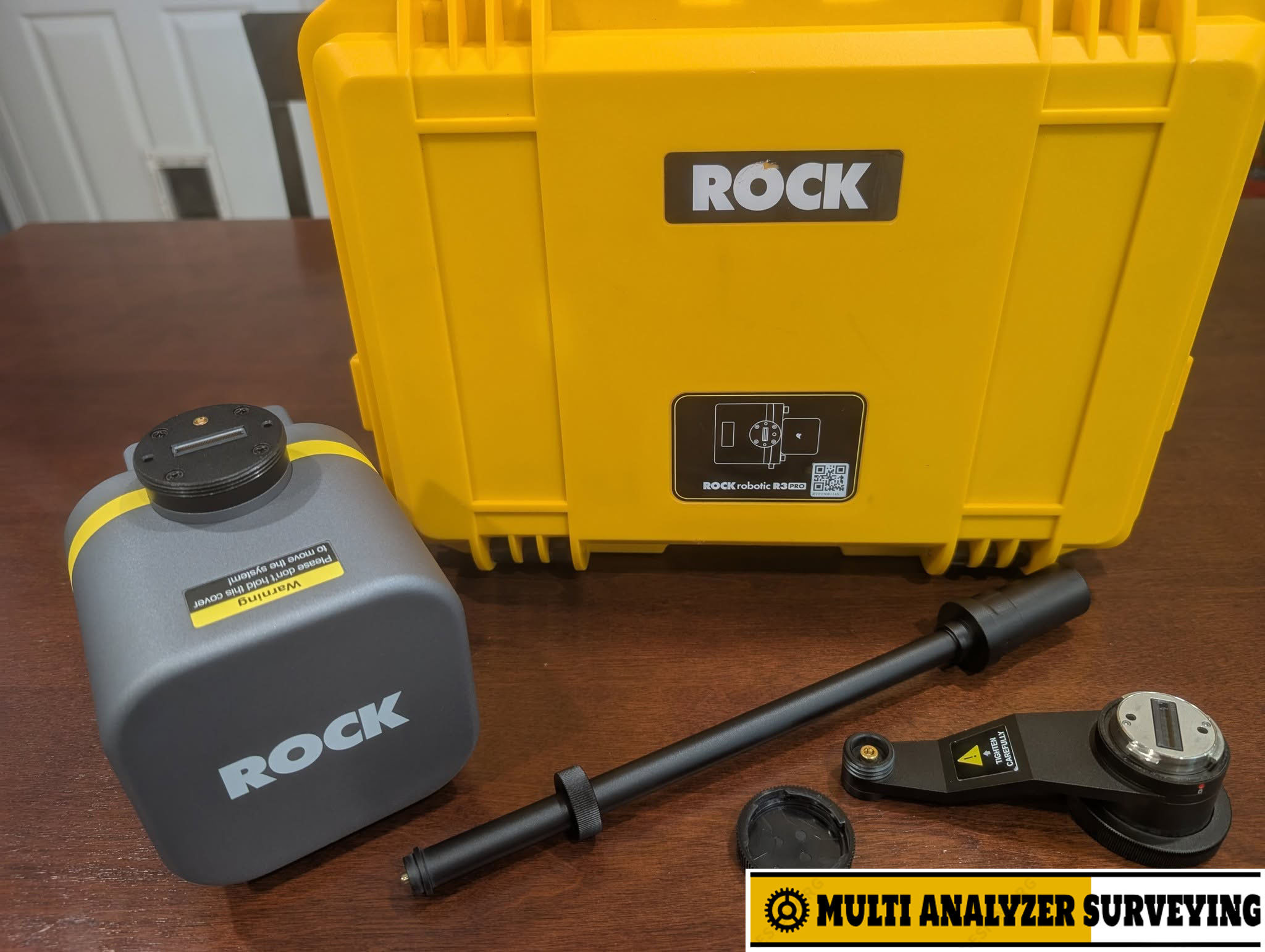
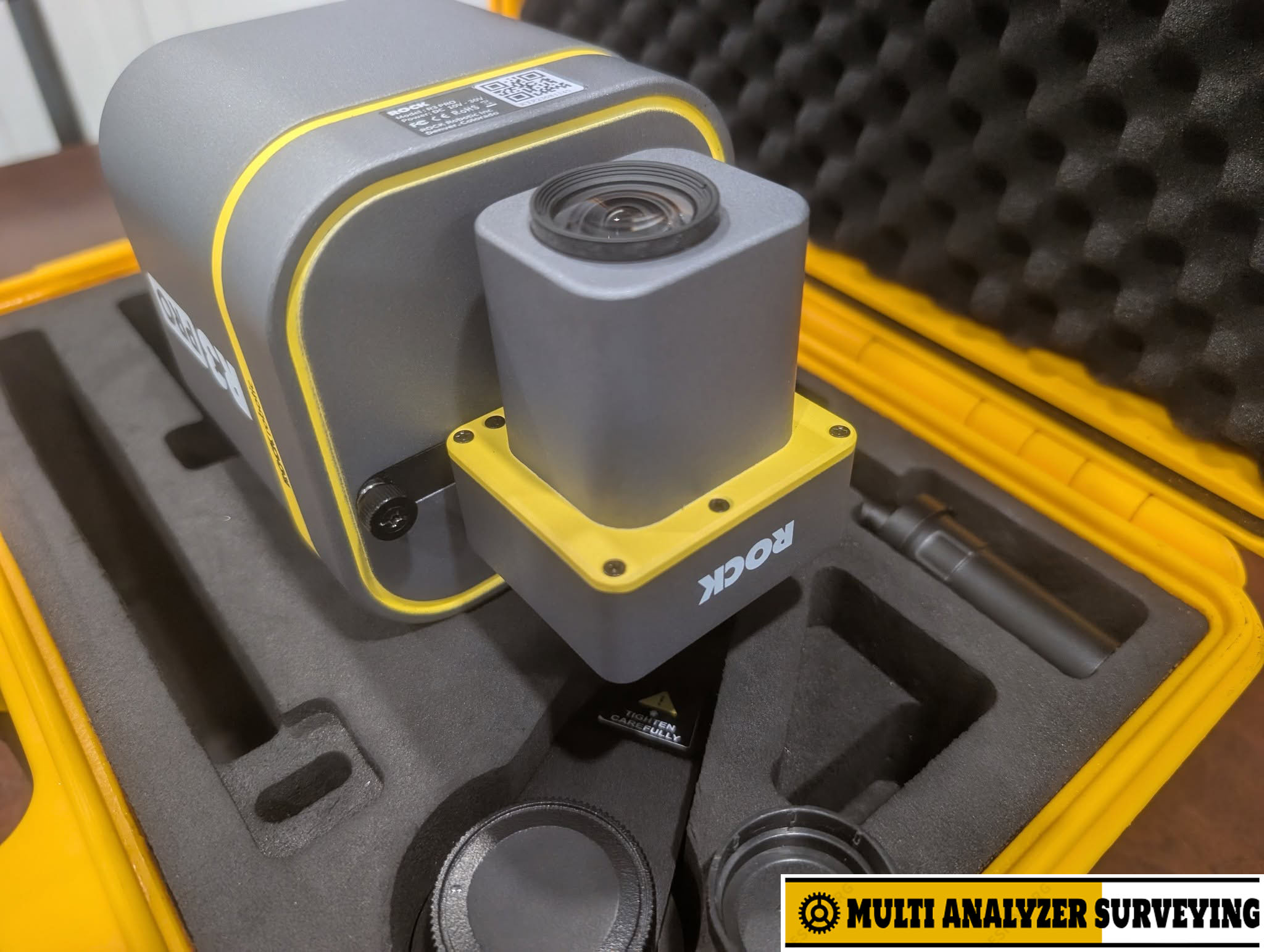
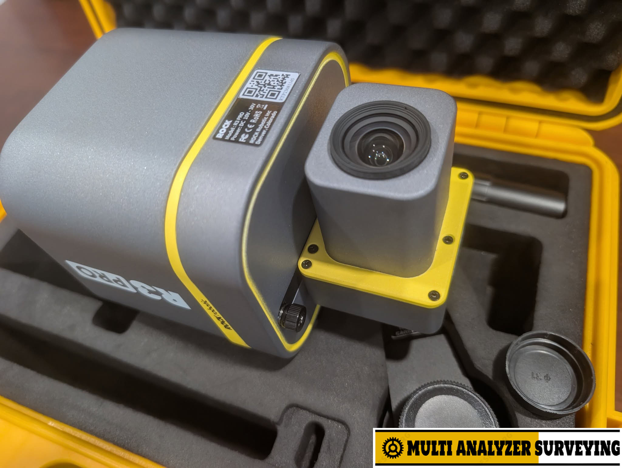
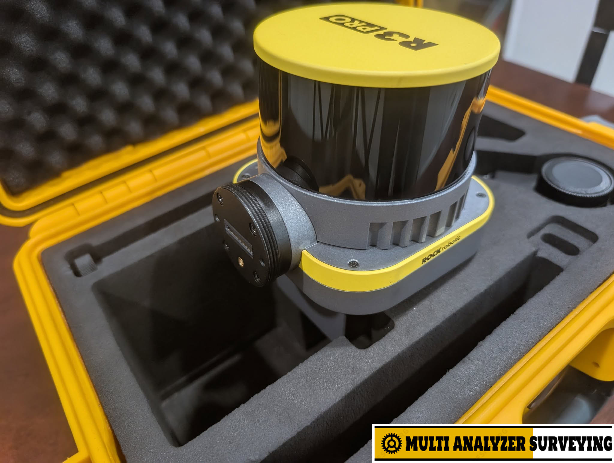
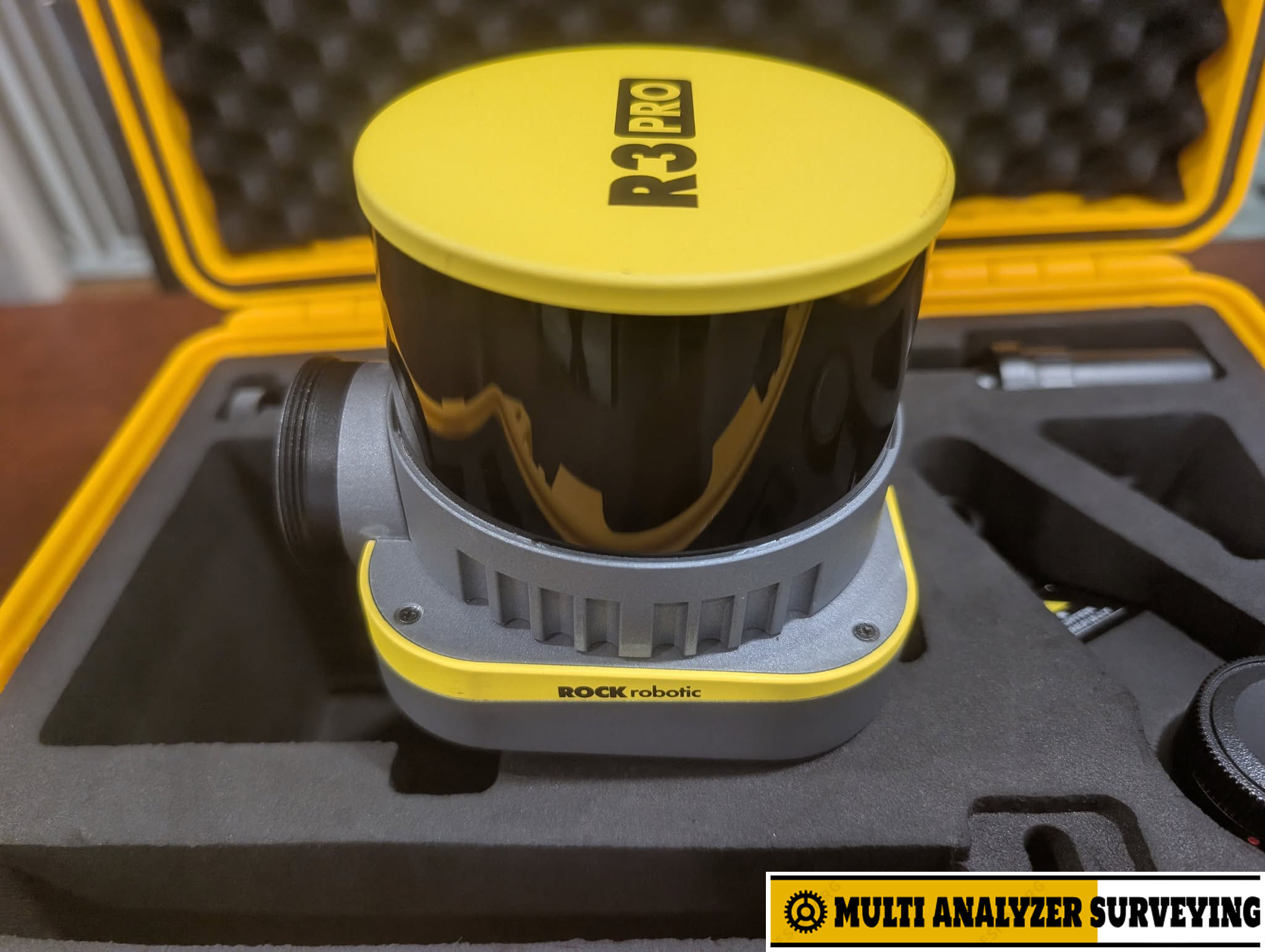

Sale – Rock Robotic R3 Pro V2 LiDAR sensor
Key specifications
| Specification | ROCK R3 Pro V2 |
|---|---|
| LiDAR | Hesai XT32 |
| Laser channels | 32 |
| Measurement rate | 640k single return / 1.28M dual return pts/s |
| Wavelength | 905 nm |
| Range | 120 m @ 60% reflectivity |
| Range precision | 5 mm |
| Horizontal FOV | 360° |
| Vertical FOV | 31° |
| System accuracy | ~3 cm |
| GNSS | GPS, GLONASS, Galileo, BeiDou |
| Positioning | PPK |
| RGB camera | 26 MP |
| Camera FOV | 73° |
| Storage | 256 GB |
| Weight | 1.26 kg ±10 g |
| Power | 25 W |
| Input voltage | 10–30 V DC |
| Operating temperature | −10°C to 50°C |
| Dimensions | 159 × 118 × 127 mm |
| Laser safety | Class 1 |
Specifications are from ROCK’s published specification sheet and product documentation.
What makes the Pro V2 different?
The important feature is its 32-channel LiDAR. Compared with the standard R3 V2’s 16-channel XT16 and 640k measurements/sec, the Pro V2 doubles the channel count and measurement rate. This gives it higher point density for applications such as vegetation mapping, corridors, infrastructure and detailed 3D reconstruction.
Three operating modes:
- 🚁 Aerial — drone-based topographic and corridor mapping
- 🚙 Mobile — vehicle-mounted road, utility and infrastructure surveys
- 🚶 SLAM/handheld — indoor, tunnel, building and GNSS-denied environments using the optional SLAM Dock V2
RGB and photogrammetry
The integrated 26 MP metric camera can provide RGB information for colorized point clouds and photogrammetry. ROCK specifies a 73° camera field of view and approximately 2.3 cm GSD at 100 m flight altitude.
Typical applications
Surveying
- Topographic surveys
- Terrain modeling
- Stockpile/volume calculations
- Construction surveying
- Corridor mapping
Infrastructure
- Roads and highways
- Bridges
- Utilities
- Rail corridors
- As-built documentation
Forestry/environment
- Canopy mapping
- Vegetation penetration
- Bare-earth extraction
Indoor/complex environments
- Buildings
- Tunnels
- Mines
- Industrial facilities
- GPS-denied areas
ROCK’s current product page specifically positions the Pro V2 as a system for demanding aerial, mobile and SLAM projects.
Software ecosystem
The sensor works with ROCK’s processing ecosystem, including ROCK Desktop and ROCK Cloud, with workflows for PPK processing, point-cloud generation, colorization, SLAM and photogrammetry.
As of September 2026, ROCK lists R3 Pro/R3 Pro V2 firmware 3.01.00 and ROCK Desktop 1.17.10 among its current software/firmware versions.
R3 V2 vs R3 Pro V2
| Feature | R3 V2 | R3 Pro V2 |
|---|---|---|
| LiDAR channels | 16 | 32 |
| Sensor | Hesai XT16 | Hesai XT32 |
| Measurement rate | 640k/s | 1.28M/s |
| Range precision | 5 mm | 5 mm |
| System accuracy | 2–3 cm | ~3 cm |
| 26 MP camera | ✓ | ✓ |
| Aerial | ✓ | ✓ |
| Mobile | ✓ | ✓ |
| SLAM | Optional | Supported / SLAM Dock V2 |
| Weight | ~1.26 kg | ~1.26 kg |
In short: the R3 Pro V2 is particularly interesting if you want one LiDAR payload that can move between drone, vehicle and handheld SLAM workflows, rather than an aerial-only scanner. Its defining hardware advantage is the 32-channel XT32 / 1.28M measurement-per-second configuration.




There are no reviews yet.