
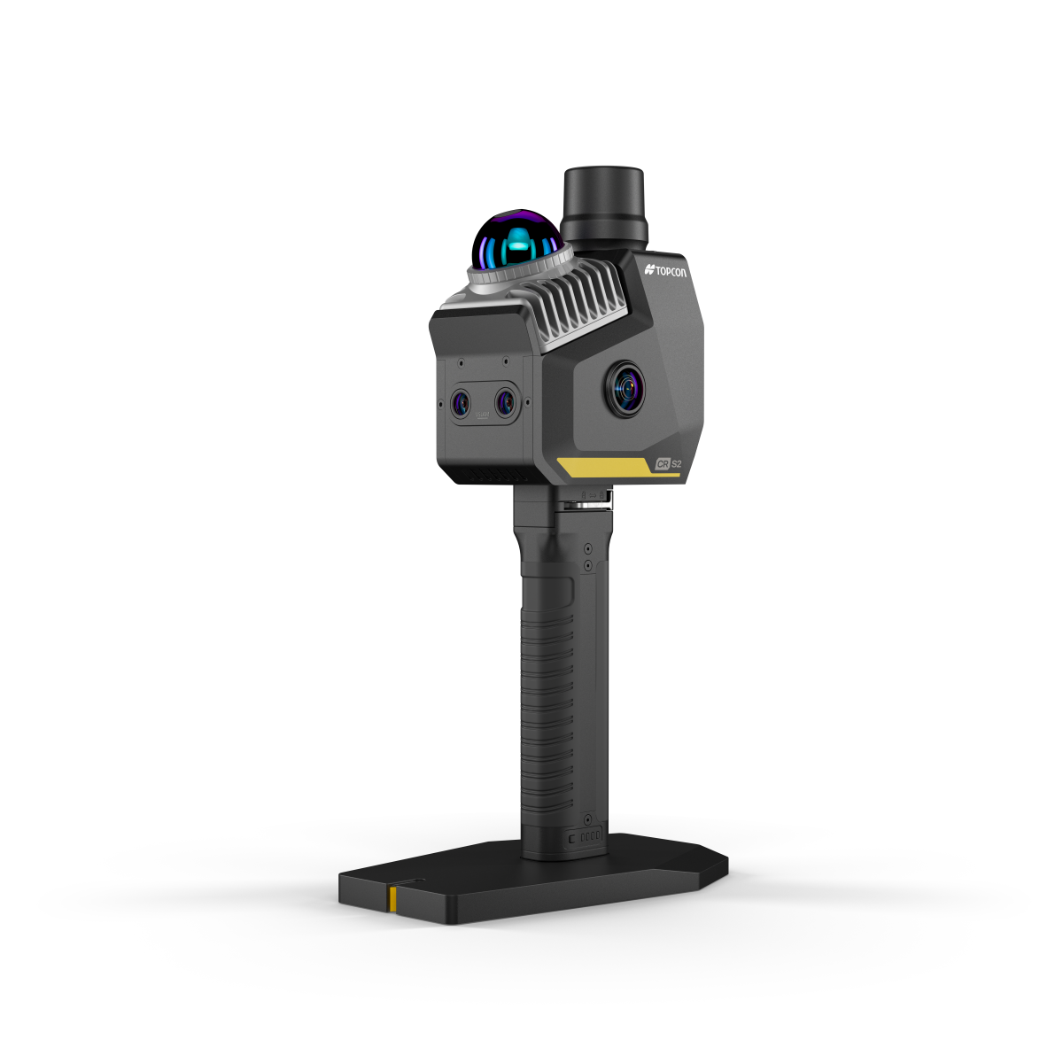
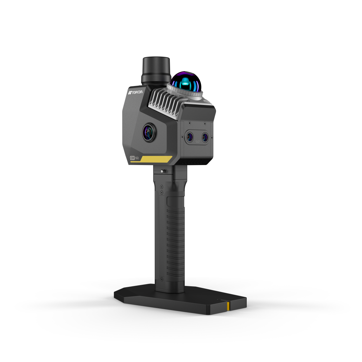
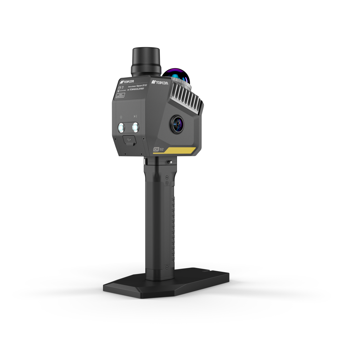
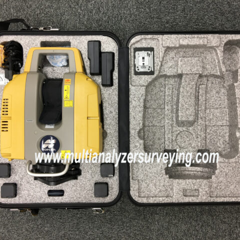
Topcon CR-S2 Handheld 3D Scanner with VSLAM
What does VSLAM mean?
VSLAM = Visual Simultaneous Localization and Mapping.
The CR-S2 has two 1.3 MP visual-SLAM cameras. As you walk with the scanner, the cameras observe visual features in the environment while the system simultaneously determines:
- Where the scanner is
- What the surrounding environment looks like
- How successive LiDAR measurements should be aligned
Topcon combines this VSLAM information with its MLF-SLAM (Multiple Localization Fusion-SLAM) and RTK-SLAM, plus LiDAR and IMU data. This is intended to maintain stable positioning when GNSS is poor or unavailable—for example, indoors, in tunnels, urban canyons, or under dense vegetation.
Key CR-S2 specifications
| Feature | CR-S2 |
|---|---|
| LiDAR | Livox Mid-360 |
| Scan rate | 200,000 points/sec |
| LiDAR accuracy | 2 cm |
| Maximum stated range | 70 m @ 80% reflectivity |
| Horizontal FOV | 360° |
| Vertical FOV | -7° to +52° |
| Visual SLAM cameras | 2 × 1.3 MP |
| Panoramic cameras | 2 × 12 MP |
| Absolute accuracy | <3 cm |
| Relative accuracy | <2 cm |
| Repeat accuracy | <2 cm |
| Weight | 1.3 kg including base, battery & RTK module |
| Battery | 3450 mAh, about 2 hours per battery |
| Storage | 512 GB SSD |
| Protection | IP64 |
These are Topcon’s published specifications; actual accuracy can vary with the environment and scanning conditions.
Why VSLAM is useful
The important difference from a normal GNSS-based mapping system is that the scanner doesn’t need continuous satellite positioning to understand its movement.
For example, imagine scanning a building:
Outside:
GNSS/RTK can provide absolute positioning.
↓
Enter building:
GNSS becomes unreliable.
↓
Inside:
LiDAR + VSLAM + IMU continue tracking the scanner’s trajectory.
↓
Exit building:
GNSS/RTK can become available again and help constrain the solution.
That’s the basic idea behind Topcon’s multi-sensor approach.
What is it good for?
The CR-S2 is particularly interesting for:
- 🏗️ Construction site surveys and progress documentation
- 🗺️ Topographic mapping
- 🏢 Building/infrastructure documentation
- 🚇 Tunnels and underground spaces
- 🌲 Forested/complex environments
- 🚧 Infrastructure inspection
- 📐 As-built measurements
- 📦 Stockpile/volume measurement
- 🚨 Emergency/accident documentation
Topcon specifically lists topographic mapping, construction surveys, infrastructure assessment, emergency response, dense forests and urban canyons as applications.
One important caveat
VSLAM doesn’t magically guarantee 2–3 cm accuracy everywhere. SLAM systems can struggle with environments that provide poor visual or geometric features, excessive movement, repetitive surfaces, or vegetation. Field control/check points and good scanning technique remain important for survey-grade work.
There is also some practitioner discussion specifically questioning how well the CR-S2’s Mid-360 sensor and SLAM workflow perform for bare-earth surveying through vegetation, so I would be cautious about buying one specifically for high-precision terrain mapping without doing a field test on your actual sites.
In short: the CR-S2 is essentially a portable “walk-and-scan” survey instrument. The VSLAM component helps it know where it is while walking, while LiDAR captures the 3D geometry. The RTK/GNSS component can then provide the connection to an absolute coordinate system.





There are no reviews yet.