
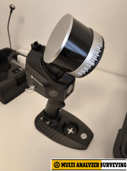
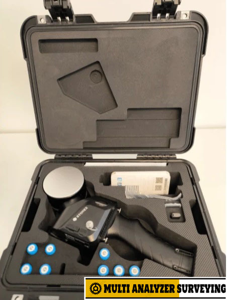
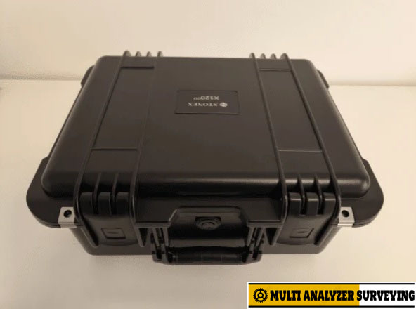
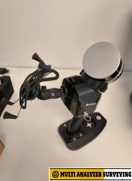
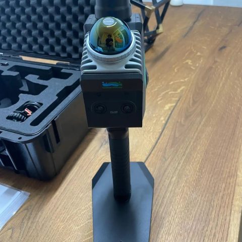
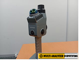
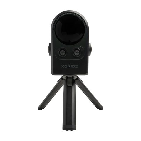
Stonex X120GO Handheld SLAM Laser Scanner
Key specifications — current X120GO
| Specification | X120GO |
|---|---|
| LiDAR | Hesai XT16 |
| Maximum range | 120 m |
| Minimum range | 0.5 m |
| Scan rate | 320,000 pts/s single return; 640,000 pts/s dual return |
| LiDAR channels | 16 |
| Field of view | 360° × 290° |
| Relative accuracy | Up to 6 mm¹ |
| Global accuracy | Up to 2 cm¹ |
| Cameras | 2 × 12 MP |
| Camera resolution | 4000 × 3000 px |
| GNSS | Integrated |
| Storage | 512 GB SSD |
| Operating modes | SLAM + X-Whizz |
| Laser | Class 1, 905 nm |
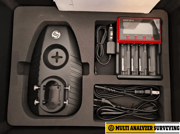
| Battery | 3,000 mAh |
| Operating time | Approx. 1.2 h per battery³ |
| Weight | 2.1 kg with battery |
| Protection | IP54 |
| Operating temperature | −20°C to +50°C |
¹ Accuracy is environment-dependent.
What makes the X120GO useful
1. Mobile SLAM scanning
The scanner can be carried through a building, tunnel, plant, road environment, or other area while continuously building the 3D point cloud. It does not depend on GPS for basic SLAM operation, making indoor surveying practical.
2. 120 m LiDAR range
The current version uses a 16-channel Hesai XT16 sensor with a stated maximum range of 120 m and up to 640,000 points/s using dual returns.
3. Integrated GNSS
The newer X120GO incorporates GNSS for positioning and georeferencing. It supports GPS, GLONASS, Galileo, BeiDou and QZSS, with RTK specifications of 0.8 cm + 1 ppm horizontal and 1.5 cm + 1 ppm vertical RMS under stated conditions.
4. Colorized point clouds and panoramic imagery
Two 12 MP cameras provide imagery that can be combined with the LiDAR data for colored point clouds and navigable/measurable panoramic imagery.
5. X-Whizz hybrid scanning
An interesting feature is X-Whizz, which combines mobile SLAM acquisition with stationary scanning. A user can stop at a particular location and acquire denser/detail-oriented data, with the stationary scan automatically aligned to the SLAM survey.
Software
The system uses:
- GOapp — Android/iOS application for project management, real-time point-cloud visualization, image preview and device operations.
- GOpost — Windows post-processing software for optimization, point-cloud coloring, panoramic-image generation and control-point/georeferencing operations.
Applications
The X120GO is suited to applications such as:
- Building and architectural documentation
- BIM / as-built surveys
- Industrial facilities and plants
- Mining and tunnels
- Roads and infrastructure
- Indoor mapping
- Topographic/reality capture
- Large-area 3D documentation
- UAV-mounted LiDAR capture
- Vehicle-based mapping
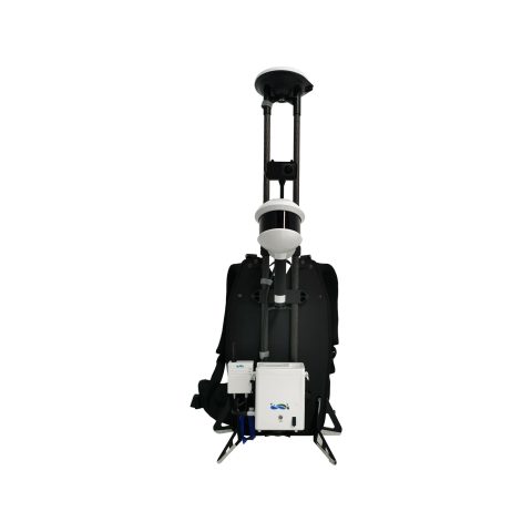
STONEX also provides backpack, vehicle and UAV mounting options, including compatibility with DJI M300/M350 platforms.
Important version distinction
There are two substantially different X120GO specifications online. The older model had a 360° × 270° rotating head, three 5 MP cameras, 32 GB storage and approximately 2.5 hours of battery operation; STONEX now identifies that version as discontinued.
The newer/current X120GO has the Hesai XT16, 512 GB SSD, integrated GNSS, two 12 MP cameras, 360° × 290° FOV and X-Whizz mode.
Bottom line: the current X120GO is positioned as a relatively lightweight, hybrid SLAM + GNSS + static-scan system rather than simply a handheld LiDAR mapper. Its combination of 120 m range, 320k/640k pts/s acquisition, integrated GNSS, color imaging and X-Whizz makes it particularly oriented toward professional surveying and reality-capture workflows.


There are no reviews yet.