
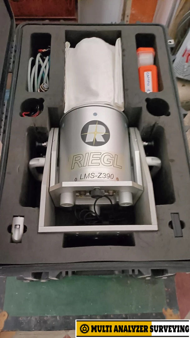
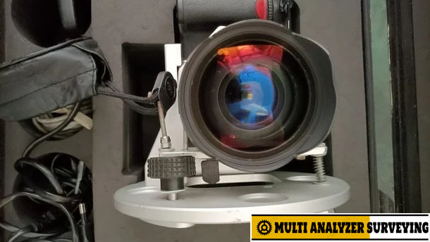
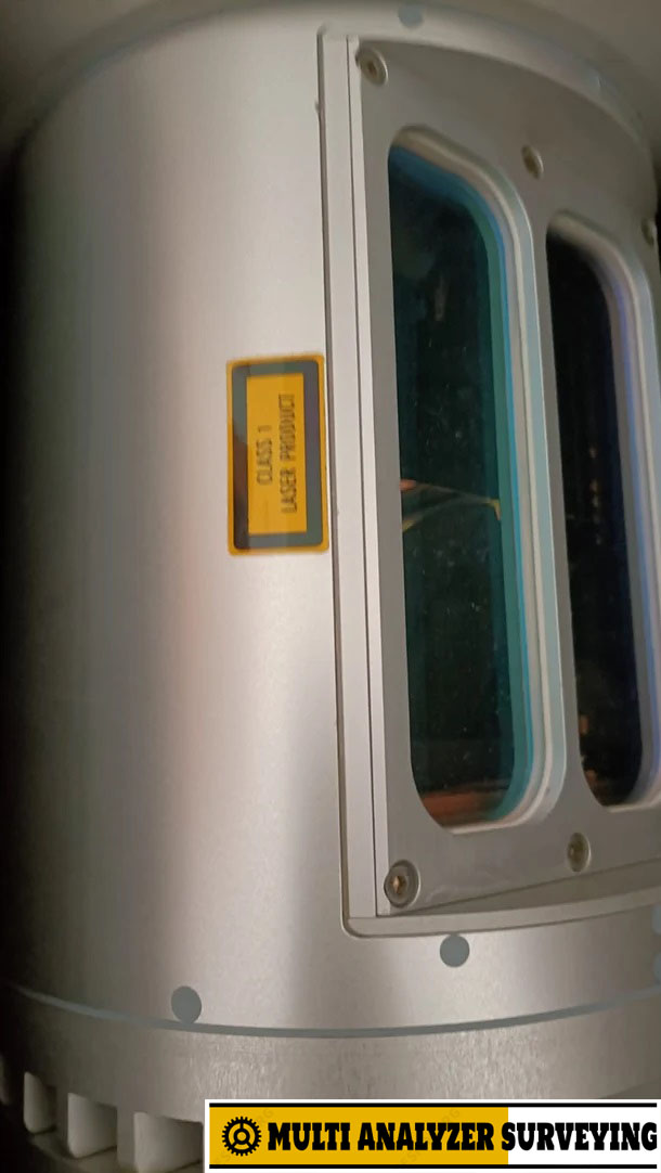
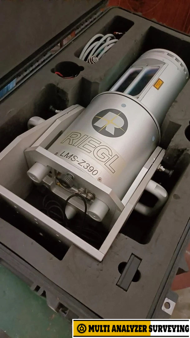
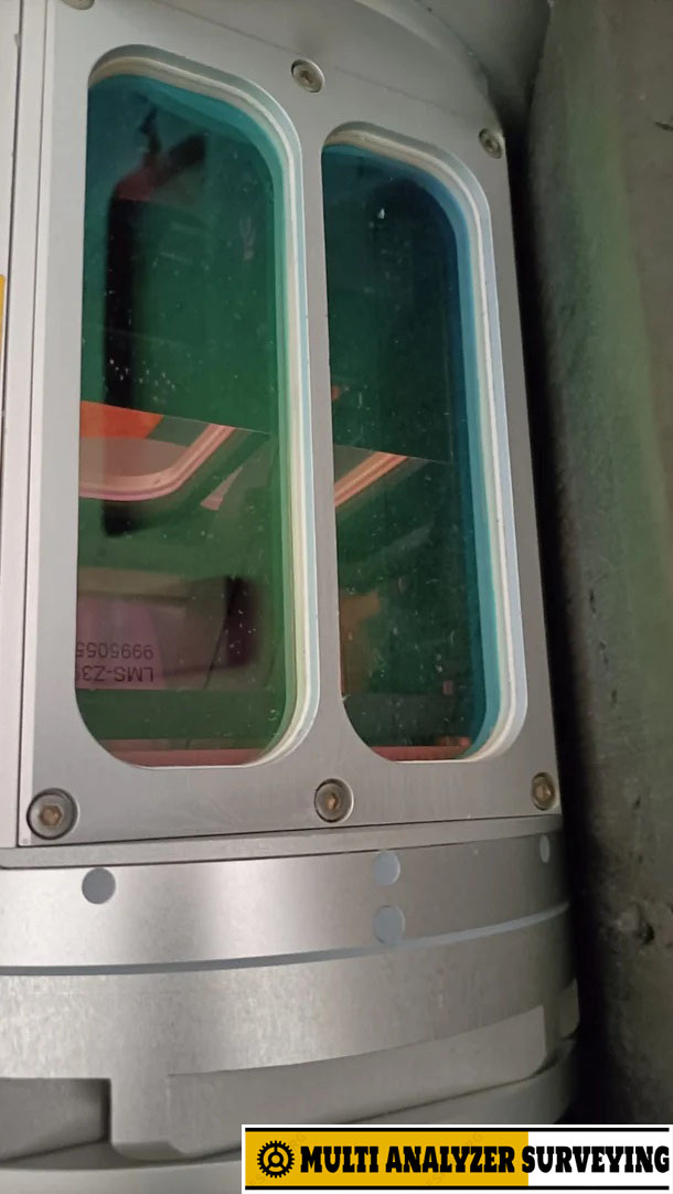
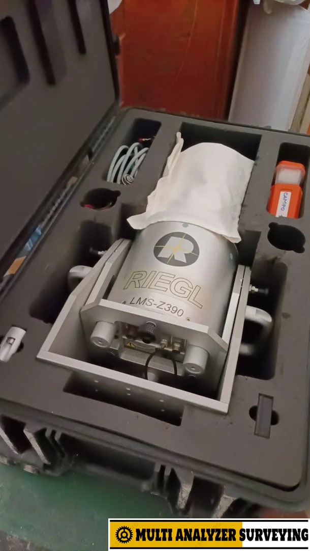
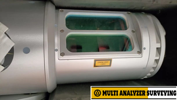
Sale – RIEGL LMS-Z390
RIEGL LMS-Z390 — key specifications
| Specification | LMS-Z390 |
|---|---|
| Type | Terrestrial laser scanner |
| Measurement range | 1–300 m at 80% reflectivity |
| Field of view | 360° horizontal × 80° vertical |
| Distance accuracy | About ±4 mm @ 50 m |
| Position accuracy | About ±6 mm @ 50 m |
| Angular resolution | 0.001° |
| Measurement rate | Up to approximately 12,000 points/s |
| Beam divergence | 0.25 mrad |
| Interface | TCP/IP |
| Laser | Near-infrared |
| Typical applications | Surveying, 3D documentation, architecture, terrain/structure mapping |
These specifications are reported in technical literature for the LMS-Z390.
GPS / receiver capability
The LMS-Z390 could also be configured for direct georeferencing/time synchronization using an external GPS receiver. RIEGL’s Internal Sync Timer could incorporate the GPS receiver’s PPS signal into the scanner data stream, allowing the scanner measurements to be synchronized with GPS time.
So if you have a unit labeled “Leica LMS Z390 Receiver,” I would check the label carefully: LMS-Z390 is a RIEGL model, not a Leica Geosystems model.
If you can provide a photo of the receiver/unit or its model-number label, I can identify the exact equipment and give you its specifications, compatible GPS receiver, cables, software, and current used-market value.




There are no reviews yet.