
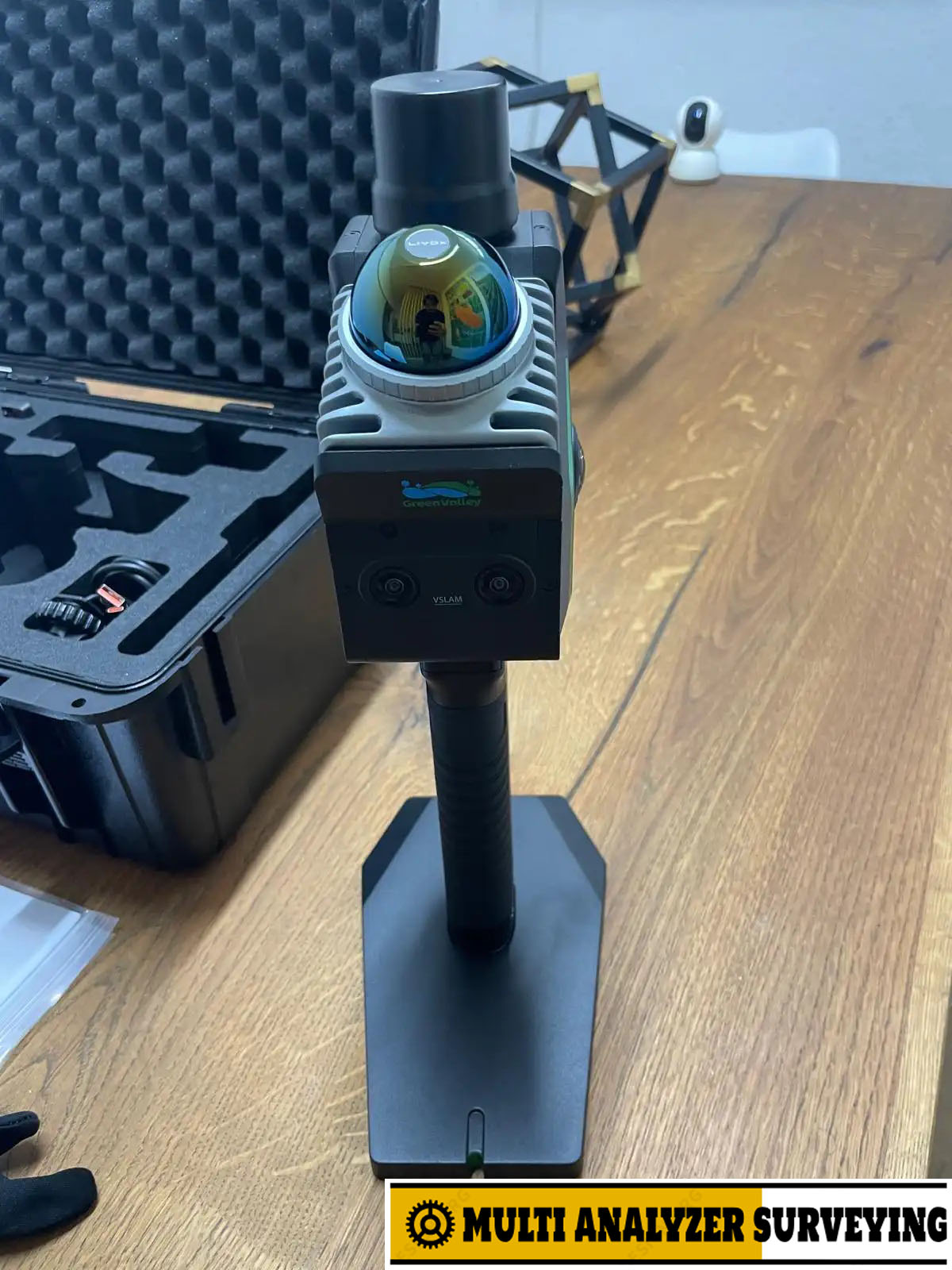
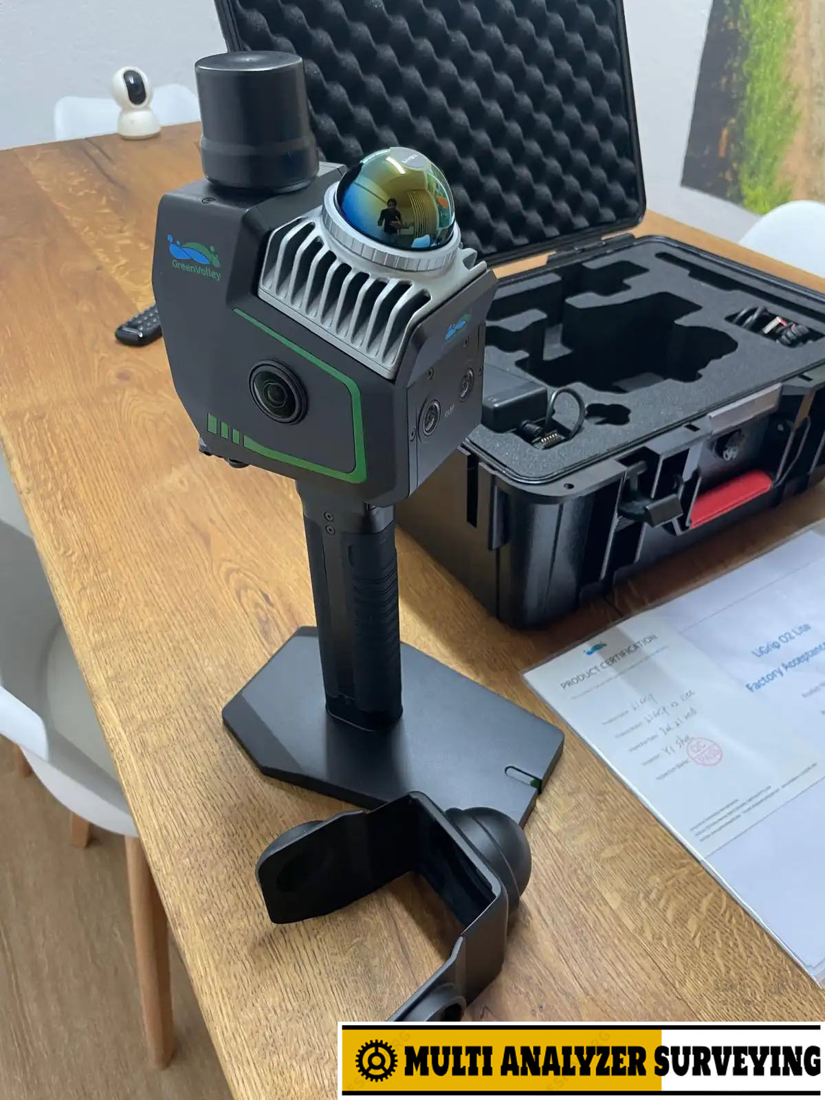
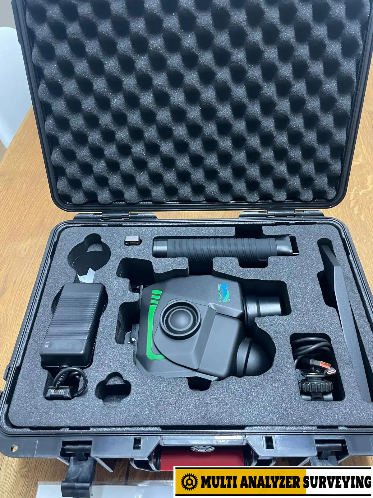
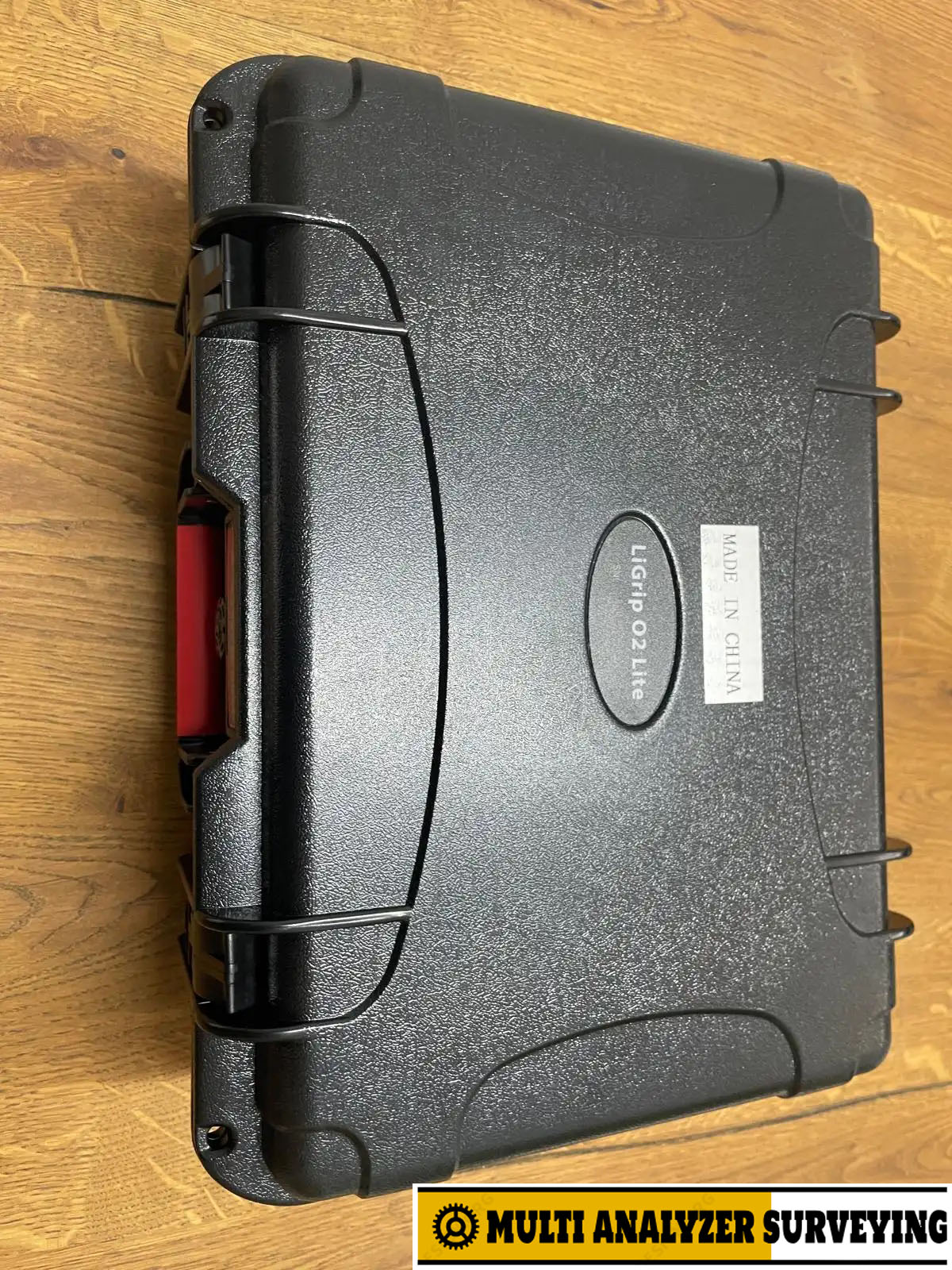
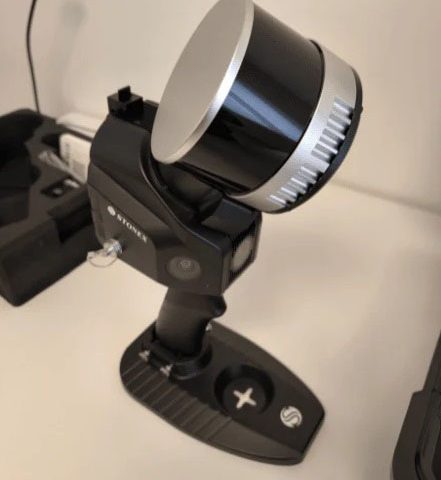
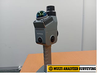
GreenValley LiGrip O2 Lite Handheld Slam Lidar Scanner
Key specifications
| Specification | LiGrip O2 Lite |
|---|---|
| Weight | 1.3 kg |
| Absolute accuracy | <3 cm |
| Relative accuracy | <2 cm |
| Repeat accuracy | <2 cm |
| LiDAR scan rate | 200,000 points/sec |
| Maximum range | 70 m |
| Range at 10% reflectivity | 40 m |
| LiDAR | Livox Mid-360 |
| LiDAR accuracy | 2 cm |
| Horizontal FOV | 360° |
| Vertical FOV | -7° to 52° |
| Panoramic cameras | 2 × 12 MP |
| Visual SLAM cameras | 2 × 1.3 MP |
| Storage | 512 GB SSD |
| Battery | 3,450 mAh |
| Typical battery life | ~2 hours |
| Protection | IP64 |
| Laser | 905 nm, Class 1 eye-safe |
| Operating temperature | -20°C to +40°C |
These specifications come from GreenValley’s current O2 Lite documentation.
What makes the O2 Lite interesting?
1. MLF-SLAM positioning
The scanner uses Multiple Localization Fusion-SLAM, combining LiDAR and visual information to improve trajectory estimation. This is particularly useful where conventional visual SLAM has difficulty finding enough distinctive features.
2. Very portable
At approximately 1.3 kg including the base, battery and RTK module, it is substantially easier to carry for long indoor/outdoor scanning sessions than many larger mobile-mapping systems.
3. Good surveying-oriented accuracy
GreenValley specifies <3 cm absolute accuracy and <2 cm relative/repeat accuracy under its stated test conditions. Actual field accuracy will depend on trajectory, environment, control/GNSS conditions and scanning technique.
4. Real-time colorized mapping
The dual 12 MP panoramic cameras allow the LiDAR point cloud to be colorized, while the additional visual cameras contribute to VSLAM positioning.
5. Multiple mounting configurations
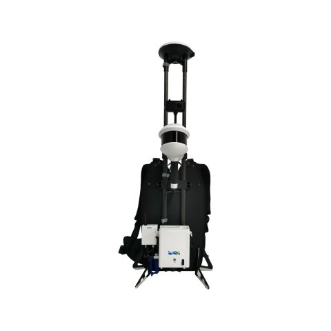
Although primarily a handheld scanner, the O2 Lite can also be configured with backpack, frontpack and telescopic-pole accessories, making it useful for different surveying workflows.
Typical applications
- Topographic surveying
- Building and interior documentation
- Construction / BIM reality capture
- Mining and quarry mapping
- Forestry
- Power-line and utility surveys
- Earthwork/stockpile measurement
- Underground environments
- HD mapping
- 3D modeling and mesh generation
GreenValley also describes outputs including point clouds, images, meshes and Gaussian-splatting data.
O2 Lite vs. LiGrip O2
The O2 Lite is the more compact member of the family. The flagship LiGrip O2 offers substantially greater LiDAR capability—up to 640,000 points/sec and 300 m range, depending on the installed LiDAR sensor—while weighing around 2.2 kg or more depending on configuration.
Bottom line: the LiGrip O2 Lite is particularly attractive when low weight, fast field capture and centimeter-level 3D mapping are more important than the extreme range and point density of a higher-end mobile mapping system.
If you’re evaluating it for purchase, the next useful comparison would be LiGrip O2 Lite vs. FARO ScanPlan 2D vs. Realsee Galois P4, especially for accuracy, range, SLAM stability and software workflow.
There are no reviews yet.