
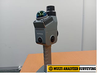
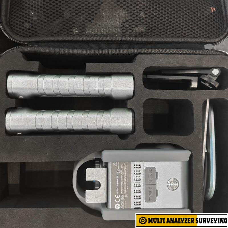
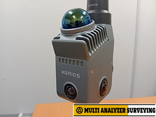
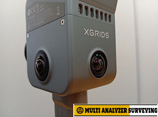
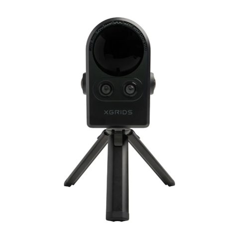
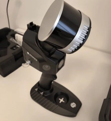
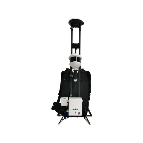
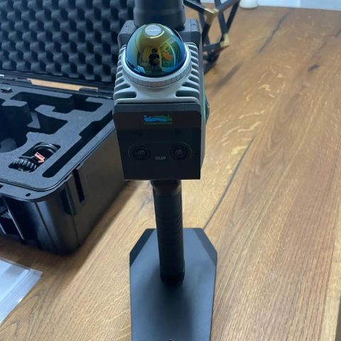
Xgrids LixelKity K1 Compact Handheld 3D Scanner
Key specifications
| Specification | LixelKity K1 |
|---|---|
| Weight | ~1 kg |
| LiDAR scan rate | 200,000 points/s |
| Relative accuracy | ±1.2 cm |
| Absolute accuracy | ±3 cm |
| Repeat accuracy | ±2 cm |
| Range | 0.1–40 m @ 10% reflectivity; up to 70 m @ 80% |
| LiDAR FOV | 360° × −7° to +52° |
| Panoramic camera | 48 MP × 2 / up to 56 MP panorama |
| Camera FOV | 360° × 360° |
| Operating time | ~1.5 hours |
| Storage | 256 GB removable TF/microSD |
| Connectivity | Wi-Fi / Bluetooth / USB 3.1 Gen2 |
| Protection | IP54 |
| RTK | Supported |
| Operating temperature | roughly −20 to +45/50 °C depending on specification/version |
The current Japanese distributor specifications list 200,000 points/s, ±1.2 cm relative accuracy, ±3 cm absolute accuracy, 0.1–40 m working range, 48 MP ×2 cameras, and approximately 1.5 hours of battery operation.
What makes it interesting
1. Very portable
At approximately 1 kg including the battery, the K1 is substantially easier to carry around a building or site than a conventional tripod-based terrestrial laser scanner.
2. 360° capture
The LiDAR and panoramic vision systems capture the environment around the operator while walking, making it suitable for quickly documenting rooms, corridors, buildings and outdoor areas.
3. Real-time colored point clouds
XGRIDS combines LiDAR with panoramic imagery to produce colored 3D reconstruction rather than simply collecting uncolored range points.
4. Multi-sensor SLAM
The system combines LiDAR, vision, inertial/navigation information and, where supported, GNSS/RTK to improve positioning in complex environments.
5. Mobile workflow
The LixelGo mobile application can control scanning, display reconstruction status, monitor RTK information and record ground-control points.
Typical applications
- Building and facility documentation
- BIM / as-built surveys
- Digital twins
- Real-estate/property measurement
- Construction progress documentation
- Engineering surveys
- Cultural-heritage recording
- Smart-city mapping
- Forestry / terrain capture
- VR/AR and 3D content creation
Important limitation
The ±1.2 cm figure is relative accuracy, while the stated absolute accuracy is around ±3 cm. Therefore, the K1 should not automatically be treated as a replacement for a high-end survey-grade total station or terrestrial laser scanner when centimeter/sub-centimeter control is critical.
Also, the approximately 1.5-hour battery life is relatively short for a full field day, so spare batteries or external power are worth considering.
Bottom line
The K1’s main proposition is fast, lightweight mobile 3D capture rather than maximum metrology accuracy. Its combination of 360° LiDAR, panoramic imagery, SLAM, RTK support and real-time reconstruction makes it particularly suited to rapid building/site capture and digital-twin workflows.
If you’re evaluating it for professional surveying, the most useful next comparison would be XGRIDS K1 vs FARO ScanPlan vs Leica BLK2GO vs NavVis VLX, particularly on accuracy, range, SLAM performance, point density, software, and Japanese pricing.
There are no reviews yet.