
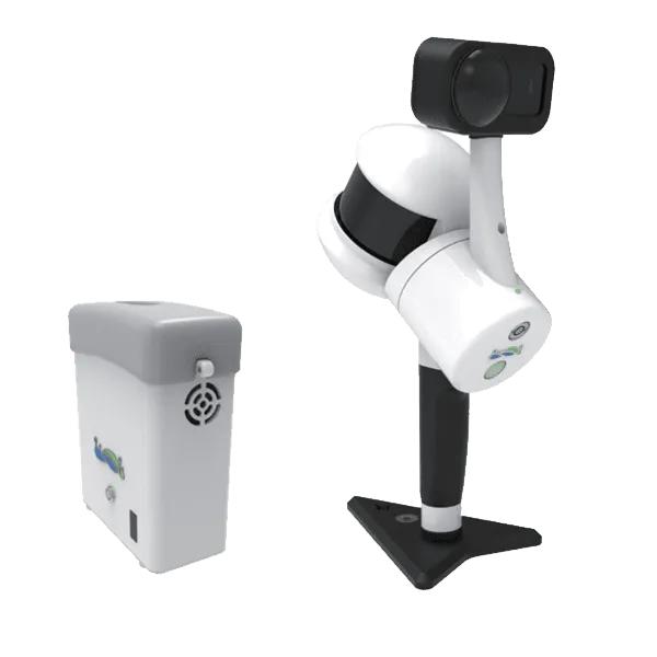
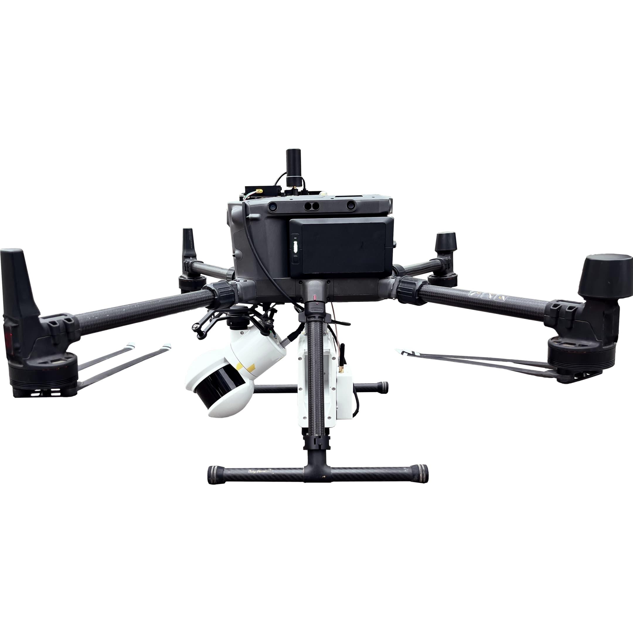
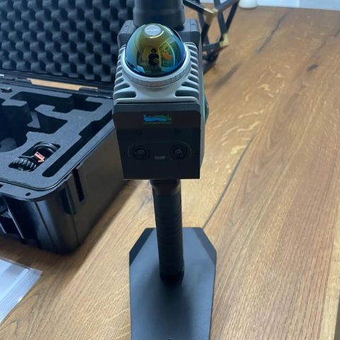
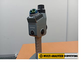
GreenValley LiGrip H300 Handheld Rotating Laser Scanner
Key specifications
| Specification | LiGrip H300 |
|---|---|
| LiDAR scan rate | Up to 640,000 points/s |
| Maximum range | Up to 300 m |
| Range accuracy | 1 cm |
| Field of view | 280° H × 360° V |
| Relative accuracy | ≤ 1 cm |
| Absolute accuracy | ≤ 5 cm |
| Mapping modes | SLAM, PPK-SLAM, RTK-SLAM |
| Camera | 1-inch CMOS panoramic camera |
| Photo resolution | 6528 × 3264 |
| Video resolution | 6144 × 3072 / 6K |
| Storage | 512 GB |
| Battery | 5870 mAh |
| Single-battery runtime | Up to 180 min |
| Continuous scanning | Up to 55 min |
| Weight | 1.67 kg including GCP base & camera |
| Protection | IP54 |
| Operating temperature | −20°C to +40°C |
Specifications are from GreenValley’s current H300 documentation; some accessories, particularly the RTK module, are optional.
Main advantages
1. Long 300 m scanning range
The H300 uses a 32-line LiDAR sensor with a stated maximum range of 300 m and a scan rate of 640,000 points/s, making it substantially more capable for large outdoor scenes than earlier LiGrip models.
2. Three positioning/mapping approaches
- SLAM — useful where GNSS is unavailable; GCPs can be used when absolute coordinates are required.
- RTK-SLAM — can directly produce georeferenced point clouds in areas with suitable CORS coverage.
- PPK-SLAM — useful where CORS coverage is unavailable but GNSS/base-station data can be used.
3. Versatile deployment
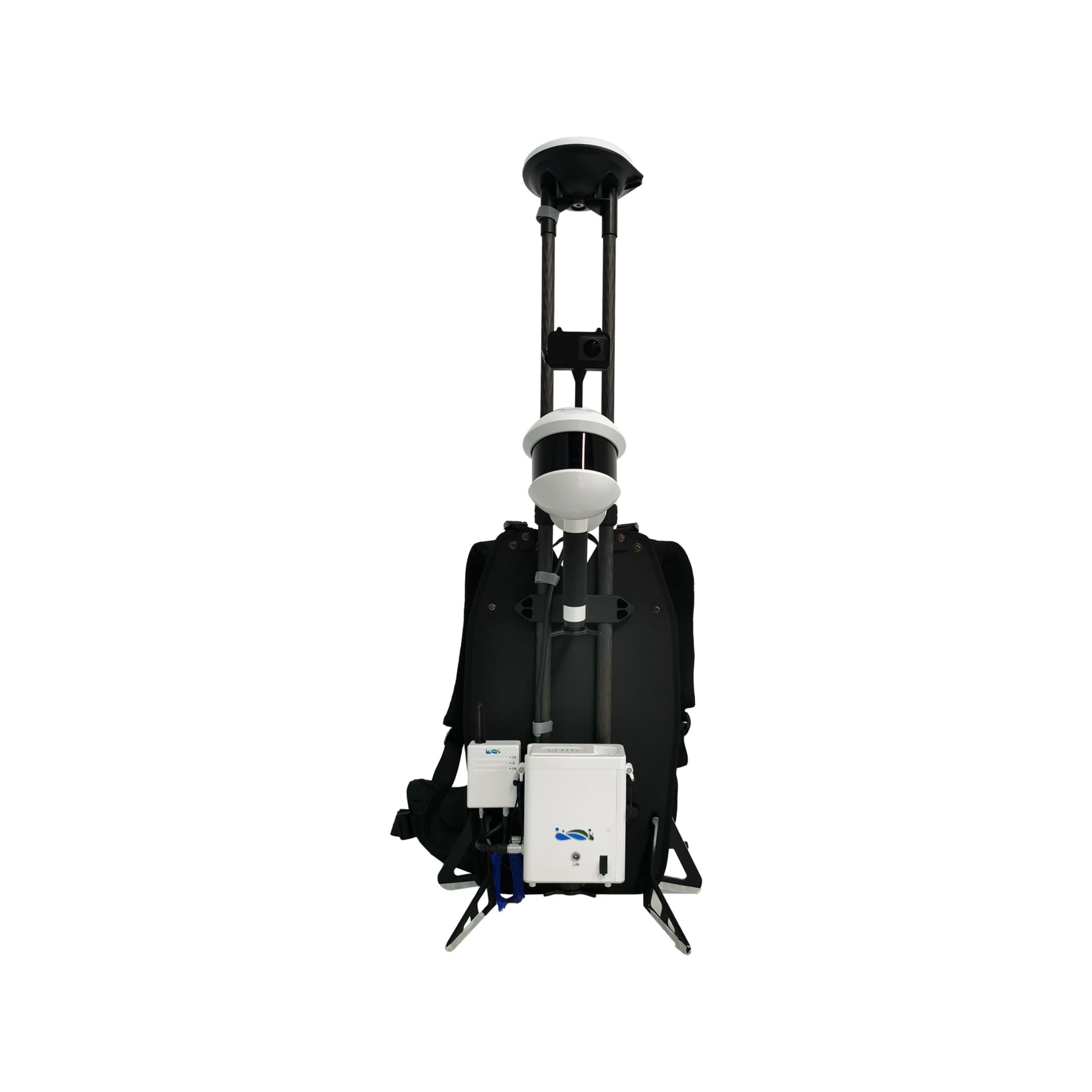
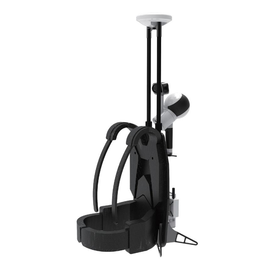
Although designed as a handheld scanner, the H300 can also be configured for backpack, vehicle-mounted and drone-mounted operation. This makes it useful for everything from building interiors to roads, terrain, mining areas and large-scale mapping.
4. Integrated panoramic imaging
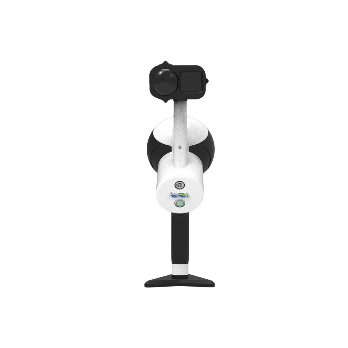
The detachable 1-inch CMOS camera supports 6K imagery and is intended to improve visualization and documentation, particularly in indoor and relatively low-light environments.
Typical applications
- Topographic and terrain surveying
- Building and indoor 3D scanning
- Mining and stockpile measurement
- Forestry and vegetation mapping
- Road and infrastructure surveying
- Power-line / utility corridor surveys
- Facade measurement
- 3D modeling and digital twins
- Large-area mobile mapping
Software
The H300 is designed to work with GreenValley’s GreenValley APP, LiDAR360, and LiDAR360 MLS software. GreenValley APP supports device control, project management, real-time point-cloud display and RTK settings, while LiDAR360/MLS provides point-cloud processing and analysis workflows.
Bottom line: The H300 is best viewed as a high-range mobile-mapping LiDAR system rather than simply a handheld laser scanner. Its combination of 300 m range, 640k pts/s, SLAM/RTK/PPK workflows and multi-platform mounting makes it particularly attractive for surveyors who need to move between indoor SLAM scanning and large outdoor georeferenced mapping.
If you have a specific H300 configuration, brochure, quotation, or specification sheet, you can upload it and I can check the exact included accessories and compare it with another scanner.
There are no reviews yet.